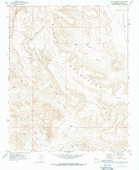
1970 Map of Warm Springs
USGS Topo · Published 1973About this map
Black Mountains and the elevated terrain of Black Mesa dominate this 1970 Mohave County landscape, defined by a network of drainage systems and isolated mining activity. The map reveals a reliance on vital water sources in this arid environment, specifically Warm Springs and the namesake Warm Springs Canyon, which cuts through the massif toward the lower Sacramento Valley.
Find a feature on this map
12 named features on this map. Tap any name to fly to it.
Don’t see what you’re looking for? This feature index may not catch every label — zoom into the map to look around manually.
Map Details
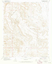
Editions of this 1970 Warm Springs Map
2 editions found
Other maps of this area

1886 · Camp Mohave
USGS Topo · 1:250,000

1892 · Camp Mohave
USGS Topo · 1:250,000

1903 · Needles
USGS Topo · 1:125,000

1904 · Needles Special
USGS Topo · 1:125,000

1927 · Yucca
USGS Topo · 1:62,500

1929 · Yucca
USGS Topo · 1:62,500

1942 · Camp Mohave
USGS Topo · 1:250,000

1947 · Kingman
USGS Topo · 1:250,000

1948 · Kingman
USGS Topo · 1:250,000

1954 · Needles
USGS Topo · 1:250,000