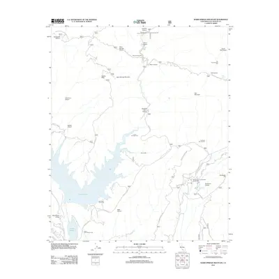
2012 Map of Warm Springs Mountain
USGS Topo · Published 2012About this map
Castaic Lake and its accompanying Castaic Lagoon dominate the southwestern reaches of this survey, serving as central hubs for water storage and recreation. The landscape is defined by a dense network of fire roads and motorways, such as the San Francisquito Mtwy and Goodell Fire Rd, which navigate the steep elevations around Warm Springs Mountain and Red Mountain. Utility and infrastructure are prominent, evidenced by the San Francisquito Powerhouse Number Two and the Castaic Tunnel Number One, reflecting the region's role in Southern California's power and water distribution. The terrain is deeply incised by numerous drainages including Elizabeth Lake Canyon and Drinkwater Canyon, while local history is marked by established sites like Warm Springs Camp and Prospect Campground.
Find a feature on this map
41 named features on this map. Tap any name to fly to it.
Don’t see what you’re looking for? This feature index may not catch every label — zoom into the map to look around manually.
Map Details
Editions of this 2012 Warm Springs Mountain Map
This is the sole edition of this map. No revisions or reprints were ever made.
Other maps of this area
1900 · Fernando
USGS Topo · 1:62,500
1901 · Southern California Sheet No. 1
USGS Topo · 1:250,000
1903 · Tejon
USGS Topo · 1:125,000
1903 · Camulos
USGS Topo · 1:125,000
1903 · Santa Susana
USGS Topo · 1:62,500
1904 · Southern California Sheet No. 1
USGS Topo · 1:250,000
1915 · Elizabeth Lake
USGS Topo · 1:125,000
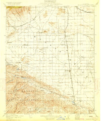
1917 · Elizabeth Lake
USGS Topo · 1:125,000
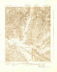
1929 · Saugus
USGS Topo · 1:24,000

1931 · Red Mountain
USGS Topo · 1:24,000