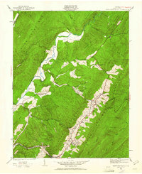
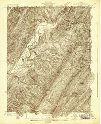
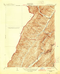
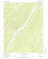
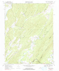
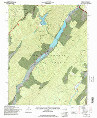
1930 Map of Warm Springs Run
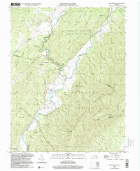
USGS Topo · Published 1961About this map
Warm Springs serves as the focal point of this 1930 survey, situated at the base of the massive Warm Springs Mountain ridgeline. The map captures the social and economic fabric of Bath County between the wars, where the Chesapeake and Ohio railroad corridor links industrial and residential pockets like Bacova Junction and Thomastown. Local community life is documented through the precise placement of institutional landmarks such as Mt Hope Ch, Chimney Run Ch, and the Thomastown Sch. The landscape is dominated by the steep topography of the George Washington National Forest, with various hollows and runs like Cowardin Run and Mine Hollow providing a blueprint of the rural drainage patterns that dictated settlement. The juxtaposition of established towns like Hot Springs against the wilderness of Back Creek Mtn illustrates the region's enduring reliance on the narrow valley floors for connectivity and commerce.
Find a feature on this map
44 named features on this map. Tap any name to fly to it.
Don’t see what you’re looking for? This feature index may not catch every label — zoom into the map to look around manually.
Map Details
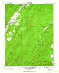
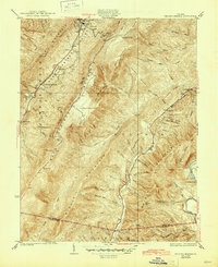
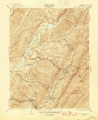
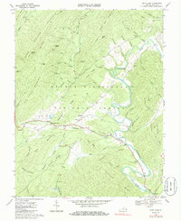
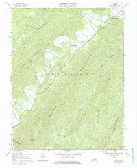
Editions of this 1930 Warm Springs Run Map
2 editions found
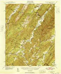
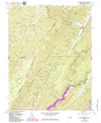
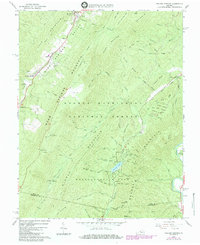
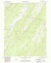
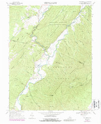
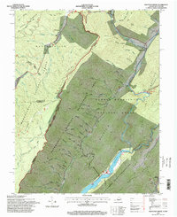
Historical Maps of Warm Springs Through Time
27 maps found

1930 Mountain Grove
Bath County, VA
1930 Warm Springs Run
Bath County, VA
1931 Healing Springs
Bath County, VA
1933 Healing Springs
Bath County, VA
1933 Mountain Grove
Bath County, VA
1933 Warm Springs Run
Bath County, VA

1946 Williamsville
Bath County, VA
1949 Williamsville
Bath County, VA
1961 Mountain Grove
Bath County, VA
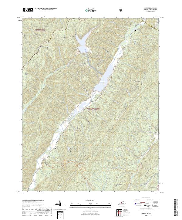
1961 Sunrise
Bath County, VA
1966 Healing Springs
Bath County, VA
1968 Bath Alum
Bath County, VA
1969 Burnsville
Bath County, VA
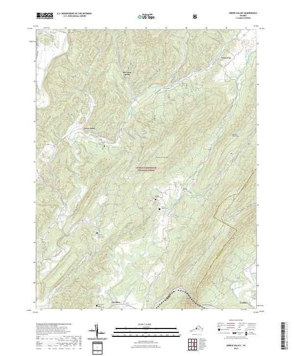
1969 Green Valley
Bath County, VA
1969 Nimrod Hall
Bath County, VA
1969 Williamsville
Bath County, VA
1995 Mountain Grove
Bath County, VA
1995 Sunrise
Bath County, VA
1999 Williamsville
Bath County, VA
2022 Bath Alum
Bath County, VA
2022 Burnsville
Bath County, VA
2022 Green Valley
Bath County, VA
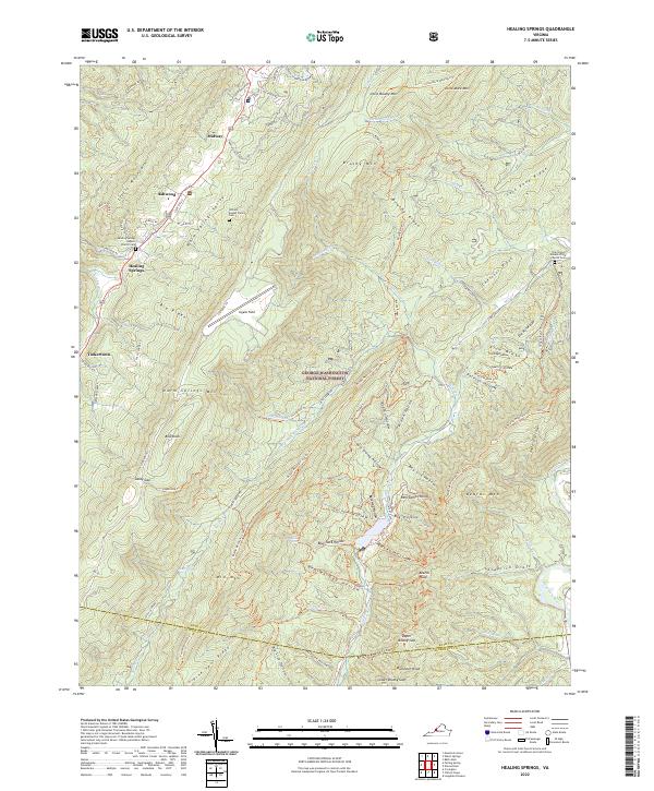
2022 Healing Springs
Bath County, VA
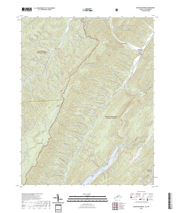
2022 Mountain Grove
Bath County, VA
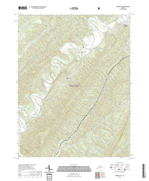
2022 Nimrod Hall
Bath County, VA
2022 Sunrise
Bath County, VA
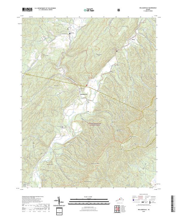
2022 Williamsville
Bath County, VA