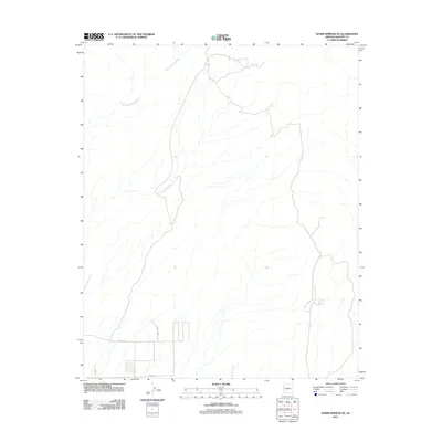
2011 Map of Warm Springs SE
USGS Topo · Published 2011About this map
Warm Springs Wash carves through this Mohave County landscape, defining the primary drainage pattern of the terrain. The area reflects a sparse but developing infrastructure in the early 2010s, primarily concentrated in the southwestern corner where a grid of roads appears. These corridors, including Polaris Rd, Bonato Way, and Regal Rd, signify a transition towards managed land use and property division in an otherwise open desert environment. This map captures the precise footprint of these emerging desert routes, such as Jub Rd, providing a clear record of the road network and hydrological features as they existed during this period.
Find a feature on this map
5 named features on this map. Tap any name to fly to it.
Don’t see what you’re looking for? This feature index may not catch every label — zoom into the map to look around manually.
Map Details
Editions of this 2011 Warm Springs SE Map
This is the sole edition of this map. No revisions or reprints were ever made.
Other maps of this area

1903 · Needles
USGS Topo · 1:125,000

1904 · Needles Special
USGS Topo · 1:125,000

1927 · Yucca
USGS Topo · 1:62,500

1927 · Buck Mountains
USGS Topo · 1:62,500

1929 · Buck Mountains
USGS Topo · 1:62,500

1929 · Yucca
USGS Topo · 1:62,500

1943 · Topock
USGS Topo · 1:62,500

1950 · Topock
USGS Topo · 1:62,500

1951 · Topock
USGS Topo · 1:62,500

1954 · Needles
USGS Topo · 1:250,000