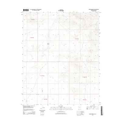
2014 Map of Warm Springs SE
USGS Topo · Published 2014About this map
The Ute Mountains dominate the northwestern corner of this landscape in the eastern reaches of the Mojave Desert. This arid terrain is defined by its drainage patterns, most notably the winding path of Warm Springs Wash which cuts through the northern sections of the map. While the region remains largely undeveloped, a network of local roads including Polaris Rd, Bonito Way, and Regal Rd provide access to the flatlands south of the mountain range.
Find a feature on this map
13 named features on this map. Tap any name to fly to it.
Don’t see what you’re looking for? This feature index may not catch every label — zoom into the map to look around manually.
Map Details
Editions of this 2014 Warm Springs SE Map
This is the sole edition of this map. No revisions or reprints were ever made.
Other maps of this area

1903 · Needles
USGS Topo · 1:125,000

1904 · Needles Special
USGS Topo · 1:125,000

1927 · Yucca
USGS Topo · 1:62,500

1927 · Buck Mountains
USGS Topo · 1:62,500

1929 · Buck Mountains
USGS Topo · 1:62,500

1929 · Yucca
USGS Topo · 1:62,500

1943 · Topock
USGS Topo · 1:62,500

1950 · Topock
USGS Topo · 1:62,500

1951 · Topock
USGS Topo · 1:62,500

1954 · Needles
USGS Topo · 1:250,000