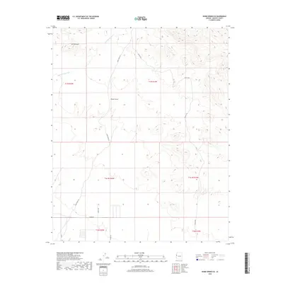
2018 Map of Warm Springs SE
USGS Topo · Published 2018About this map
The Ute Mountains dominate the northwestern corner of this arid landscape, where the terrain transitions into the broader expanse of the Mojave Desert. This 2018 survey by the U.S. Geological Survey illustrates a sparsely populated section of Mohave County, where the natural drainage of Warm Springs Wash cuts through the topography. Modern infrastructure is limited to a network of desert routes and service paths, including the prominent Warm Springs Rd and Blm Rd 7700. These roads suggest a landscape primarily used for recreation or land management rather than dense settlement. The map also traces several smaller named tracks like Polaris Rd and Bonato Way near the southern boundary, providing a precise look at the access points used by those navigating this corner of the Arizona desert.
Find a feature on this map
15 named features on this map. Tap any name to fly to it.
Don’t see what you’re looking for? This feature index may not catch every label — zoom into the map to look around manually.
Map Details
Editions of this 2018 Warm Springs SE Map
This is the sole edition of this map. No revisions or reprints were ever made.
Other maps of this area

1903 · Needles
USGS Topo · 1:125,000

1904 · Needles Special
USGS Topo · 1:125,000

1927 · Yucca
USGS Topo · 1:62,500

1927 · Buck Mountains
USGS Topo · 1:62,500

1929 · Buck Mountains
USGS Topo · 1:62,500

1929 · Yucca
USGS Topo · 1:62,500

1943 · Topock
USGS Topo · 1:62,500

1950 · Topock
USGS Topo · 1:62,500

1951 · Topock
USGS Topo · 1:62,500

1954 · Needles
USGS Topo · 1:250,000