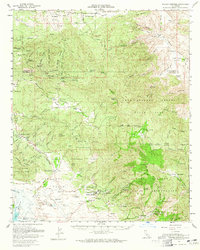
1960 Map of Warner Springs
USGS Topo · Published 1965About this map
Warner Springs and the surrounding high desert transitions are meticulously detailed in this early 1960s survey. The landscape is defined by a complex intersection of tribal and public lands, including the Cahuilla Indian Reservation, Los Coyotes Indian Reservation, and sections of the Cleveland National Forest. The map captures the regional water infrastructure centered on Lake Henshaw and the San Luis Rey River, alongside specialized facilities like the Survival Training School (US Navy) and the Warner Springs Landing Field. Small settlements and outposts such as Holcomb Village, Sunshine Summit, and San Ysidro appear at a time when the area maintained its cattle ranching and recreational character. Topographical features like Combs Peak and Inspiration Point overlook the valleys, while the Pawnee Mine points to the area's geological interests.
Find a feature on this map
86 named features on this map. Tap any name to fly to it.
Don’t see what you’re looking for? This feature index may not catch every label — zoom into the map to look around manually.
Map Details
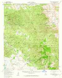
Editions of this 1960 Warner Springs Map
2 editions found
Other maps of this area

1901 · Southern California Sheet No. 1
USGS Topo · 1:250,000

1901 · San Jacinto
USGS Topo · 1:125,000

1903 · Ramona
USGS Topo · 1:125,000

1904 · Indio
USGS Topo · 1:125,000

1904 · Southern California Sheet No. 2
USGS Topo · 1:250,000

1904 · Southern California Sheet No. 1
USGS Topo · 1:250,000

1931 · Vallecito
USGS Topo · 1:125,000

1939 · Warner Springs
USGS Topo · 1:62,500

1939 · Santa Ysabel
USGS Topo · 1:62,500

1939 · Borrego
USGS Topo · 1:62,500