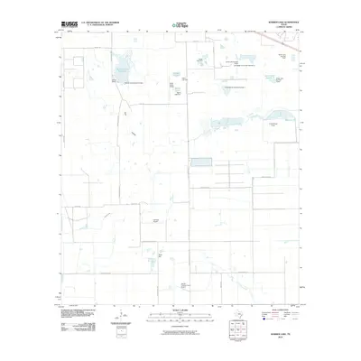
2010 Map of Warren Lake
USGS Topo · Published 2010About this map
Warren Ranch sits at the heart of this coastal prairie landscape in Harris County, an area defined by its expansive private estates and a network of managed water resources. The terrain is characterized by numerous small lakes and reservoirs, including the Warren Estate Reservoir, Fisher Lake, and Wood Lake, each supported by dedicated dams. This 2010 survey illustrates a region where ranching traditions meet private aviation, evidenced by the presence of the Harbican Airpark, Green Acres Airport, and the Harold Freeman Farm Airport. Cypress Creek winds through the central portion of the quadrangle, while Wolf Hill provides a subtle rise in the otherwise level plains. The infrastructure of the area is further marked by the Longenbaugh Levee and a grid of rural roads like Mound Rd and Katy Hockley Rd that connect these large landholdings.
Find a feature on this map
35 named features on this map. Tap any name to fly to it.
Don’t see what you’re looking for? This feature index may not catch every label — zoom into the map to look around manually.
Map Details
Editions of this 2010 Warren Lake Map
This is the sole edition of this map. No revisions or reprints were ever made.
Other maps of this area

1915 · Cypress
USGS Topo · 1:24,000

1915 · Katy
USGS Topo · 1:24,000

1915 · Addicks
USGS Topo · 1:24,000

1916 · Rose Hill
USGS Topo · 1:24,000

1916 · Hockley
USGS Topo · 1:24,000

1916 · Swanson
USGS Topo · 1:24,000

1918 · Cypress
USGS Topo · 1:31,680

1918 · Addicks
USGS Topo · 1:31,680

1919 · Swanson
USGS Topo · 1:31,680

1920 · Hockley
USGS Topo · 1:31,680