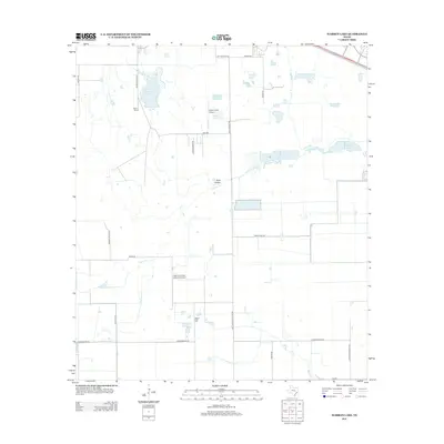
2013 Map of Warren Lake
USGS Topo · Published 2013About this map
Warren Ranch sits at the heart of this landscape, a region defined by agricultural heritage and a network of water management features including the Warren Estate Reservoir. Located northwest of Houston, this area in the early 2010s shows a transition from sprawling ranch lands to a more structured grid of rural roads like Katy Hockley Rd and Longenbaugh Rd. Aviation history is present through private facilities such as Green Acres Airport and the uniquely named Sack-O-Grande Aeroport Airport. Natural drainage follows the meandering path of Cypress Creek, which passes through Rock Hollow and is supplemented by numerous small bodies of water like Fisher Lake and Mallard Lake. The terrain is generally level, marked only by subtle rises like Wolf Hill, reflecting the coastal prairie geography of Harris County.
Find a feature on this map
29 named features on this map. Tap any name to fly to it.
Don’t see what you’re looking for? This feature index may not catch every label — zoom into the map to look around manually.
Map Details
Editions of this 2013 Warren Lake Map
This is the sole edition of this map. No revisions or reprints were ever made.
Other maps of this area

1915 · Cypress
USGS Topo · 1:24,000

1915 · Katy
USGS Topo · 1:24,000

1915 · Addicks
USGS Topo · 1:24,000

1916 · Rose Hill
USGS Topo · 1:24,000

1916 · Hockley
USGS Topo · 1:24,000

1916 · Swanson
USGS Topo · 1:24,000

1918 · Cypress
USGS Topo · 1:31,680

1918 · Addicks
USGS Topo · 1:31,680

1919 · Swanson
USGS Topo · 1:31,680

1920 · Hockley
USGS Topo · 1:31,680