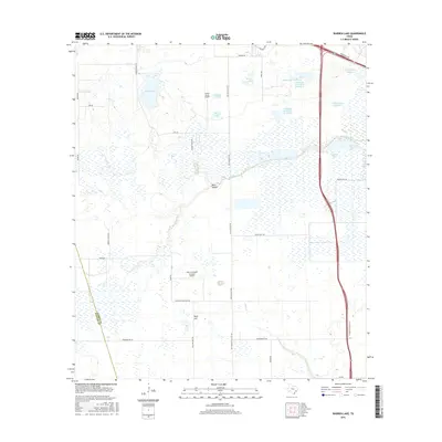
2016 Map of Warren Lake
USGS Topo · Published 2016About this map
The boundary between Harris Co and Waller Co bisects a landscape defined by water management and aviation history on the western edge of the Houston area. Broad stretches of prairie are punctuated by agricultural water bodies like Warren Lake and the series of reservoirs at Chudleigh Farms Lake, which historically supported the region's rice farming and cattle ranching traditions. These open spaces also facilitated the development of private aviation, evidenced by the presence of Green Acres Airport and the uniquely named Sack-O-Grande Acroport Airport. Natural drainages including Cypress Cr and Bear Cr provide the primary topography, leading to local landmarks such as Rock Hollow and Wolf Hill. Large family-named holdings are preserved in the road network, with routes like Warren Ranch Rd and Stockdick School Rd marking the transition from rural heritage to modern utility.
Find a feature on this map
35 named features on this map. Tap any name to fly to it.
Don’t see what you’re looking for? This feature index may not catch every label — zoom into the map to look around manually.
Map Details
Editions of this 2016 Warren Lake Map
This is the sole edition of this map. No revisions or reprints were ever made.
Other maps of this area

1915 · Cypress
USGS Topo · 1:24,000

1915 · Katy
USGS Topo · 1:24,000

1915 · Addicks
USGS Topo · 1:24,000

1916 · Rose Hill
USGS Topo · 1:24,000

1916 · Hockley
USGS Topo · 1:24,000

1916 · Swanson
USGS Topo · 1:24,000

1918 · Cypress
USGS Topo · 1:31,680

1918 · Addicks
USGS Topo · 1:31,680

1919 · Swanson
USGS Topo · 1:31,680

1920 · Hockley
USGS Topo · 1:31,680