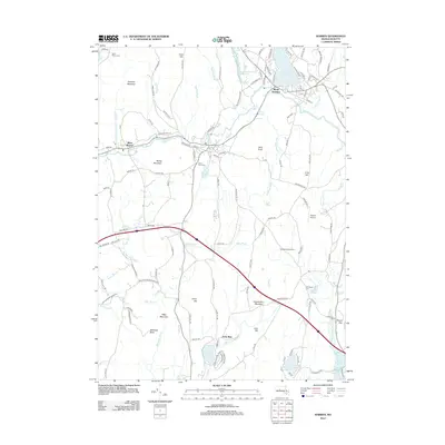
2012 Map of Warren
USGS Topo · Published 2012About this map
West Warren and Marks Garrison anchor this Massachusetts landscape, where the Quaboag River carves a path through a series of significant peaks including Marks Mountain and Colonels Mountain. The local geography is defined by a high concentration of family-named heights and water bodies, reflecting a deeply rooted settlement pattern. Geologists and local historians can trace the course of numerous waterways such as Tufts Brook, Naultaug Brook, and School Street Brook as they feed into larger features like Wickaboag Pond and the Lamberton Brook Reservoir.
Find a feature on this map
140 named features on this map. Tap any name to fly to it.
Don’t see what you’re looking for? This feature index may not catch every label — zoom into the map to look around manually.
Map Details
Editions of this 2012 Warren Map
This is the sole edition of this map. No revisions or reprints were ever made.
Other maps of this area

1887 · Brookfield
USGS Topo · 1:62,500

1887 · Palmer
USGS Topo · 1:62,500

1887 · Belchertown
USGS Topo · 1:62,500

1887 · Barre
USGS Topo · 1:62,500

1889 · Palmer
USGS Topo · 1:62,500

1889 · Barre
USGS Topo · 1:62,500

1890 · Belchertown
USGS Topo · 1:62,500

1890 · Brookfield
USGS Topo · 1:62,500

1893 · Palmer
USGS Topo · 1:62,500

1893 · Belchertown
USGS Topo · 1:62,500