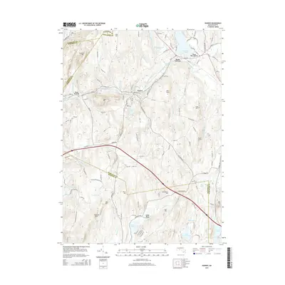
2015 Map of Warren
USGS Topo · Published 2015About this map
Warren and West Warren anchor a landscape defined by the winding course of the Quaboag River as it passes through the southern Berkshires foothills. This 2015 update captures the geographic intersection of Worcester and Hampden counties, where high ridges like Steerage Rock and Marks Mtn overlook a valley shaped by centuries of transport and water power. The map detail reflects a transition from industrial riverfronts to upland farms, preserving the locations of several burial grounds including Pine Grove Cem and Saint Marys Cem.
Find a feature on this map
136 named features on this map. Tap any name to fly to it.
Don’t see what you’re looking for? This feature index may not catch every label — zoom into the map to look around manually.
Map Details
Editions of this 2015 Warren Map
This is the sole edition of this map. No revisions or reprints were ever made.
Other maps of this area

1887 · Brookfield
USGS Topo · 1:62,500

1887 · Palmer
USGS Topo · 1:62,500

1887 · Belchertown
USGS Topo · 1:62,500

1887 · Barre
USGS Topo · 1:62,500

1889 · Palmer
USGS Topo · 1:62,500

1889 · Barre
USGS Topo · 1:62,500

1890 · Belchertown
USGS Topo · 1:62,500

1890 · Brookfield
USGS Topo · 1:62,500

1893 · Palmer
USGS Topo · 1:62,500

1893 · Belchertown
USGS Topo · 1:62,500