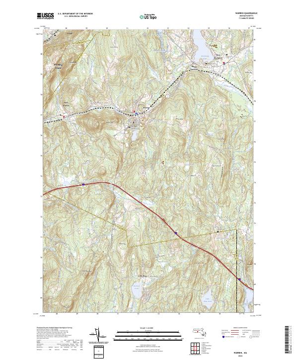
2024 Map of Warren
USGS Topo · Published 2024About this map
The Quaboag River and Ware River define the industrial and agricultural corridors of central Massachusetts in this contemporary snapshot of the region. The map focuses on the villages of Warren and West Warren, where the historical rail path of the Boston Post Rd Quaboag St follows the river's edge. This area is rich in sites for genealogical research, featuring several notable burial grounds such as the Old Indian Cem and Saint Pauls Cem.
Find a feature on this map
141 named features on this map. Tap any name to fly to it.
Don’t see what you’re looking for? This feature index may not catch every label — zoom into the map to look around manually.
Map Details
Editions of this 2024 Warren Map
This is the sole edition of this map. No revisions or reprints were ever made.
Other maps of this area

1887 · Brookfield
USGS Topo · 1:62,500

1887 · Palmer
USGS Topo · 1:62,500

1887 · Belchertown
USGS Topo · 1:62,500

1887 · Barre
USGS Topo · 1:62,500

1889 · Palmer
USGS Topo · 1:62,500

1889 · Barre
USGS Topo · 1:62,500

1890 · Belchertown
USGS Topo · 1:62,500
1890 · Brookfield
USGS Topo · 1:62,500
1893 · Palmer
USGS Topo · 1:62,500
1893 · Belchertown
USGS Topo · 1:62,500