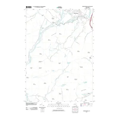
2010 Map of Warrensburg
USGS Topo · Published 2010About this map
Warrensburg sits at the confluence of the Hudson River and Schroon River, serving as a focal point for this Adirondack landscape. The terrain is defined by numerous peaks, including Sugarloaf Mountain, Potash Mountain, and the distinctive Three Sisters. Local history is anchored by the settlement of Athol and the presence of the Cameron Cemetery tucked away near Cameron Road.
Find a feature on this map
75 named features on this map. Tap any name to fly to it.
Don’t see what you’re looking for? This feature index may not catch every label — zoom into the map to look around manually.
Map Details
Editions of this 2010 Warrensburg Map
This is the sole edition of this map. No revisions or reprints were ever made.
Other maps of this area

1895 · North Creek
USGS Topo · 1:62,500

1895 · Glens Falls
USGS Topo · 1:62,500

1897 · Bolton
USGS Topo · 1:62,500

1897 · Glens Falls
USGS Topo · 1:62,500

1897 · North Creek
USGS Topo · 1:62,500

1900 · Bolton
USGS Topo · 1:62,500

1903 · Luzerne
USGS Topo · 1:62,500

1938 · Glens Falls
USGS Topo · 1:62,500

1947 · Glens Falls
USGS Topo · 1:62,500

1950 · Glens Falls
USGS Topo · 1:250,000