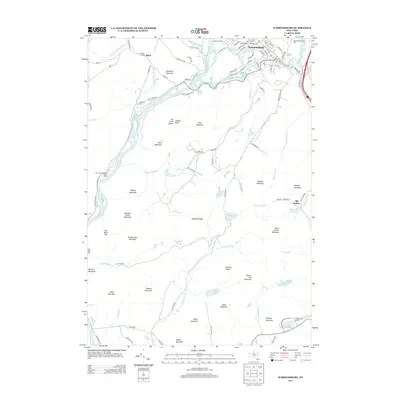
2013 Map of Warrensburg
USGS Topo · Published 2013About this map
Warrensburg and Athol anchor this 2013 landscape at the confluence of the Hudson River and Schroon River. The terrain is characterized by numerous named peaks and ridges, including Sugarloaf Mountain, The Three Sisters, and Hemlock Ridge, providing a clear view of the complex topography within the Adirondack Park Preserve. For genealogists and local historians, several family-named burial grounds are documented, such as Pendell Cem, Cameron Cem, and the larger Warrensburg Cem near the town center. The area reflects a mix of forest management and recreation, evidenced by One Thousand Acres Ranch Resort, Camp Echo Lake, and Hidden Lake Camp. Water features are abundant, with Big Hollow Reservoir to the east and a network of named brooks and ponds, like Viele Pond and Berry Pond, carving through the elevations of Potash Mountain and Kenyon Mountain.
Find a feature on this map
110 named features on this map. Tap any name to fly to it.
Don’t see what you’re looking for? This feature index may not catch every label — zoom into the map to look around manually.
Map Details
Editions of this 2013 Warrensburg Map
This is the sole edition of this map. No revisions or reprints were ever made.
Other maps of this area

1895 · North Creek
USGS Topo · 1:62,500

1895 · Glens Falls
USGS Topo · 1:62,500

1897 · Bolton
USGS Topo · 1:62,500

1897 · Glens Falls
USGS Topo · 1:62,500

1897 · North Creek
USGS Topo · 1:62,500

1900 · Bolton
USGS Topo · 1:62,500

1903 · Luzerne
USGS Topo · 1:62,500

1938 · Glens Falls
USGS Topo · 1:62,500

1947 · Glens Falls
USGS Topo · 1:62,500

1950 · Glens Falls
USGS Topo · 1:250,000