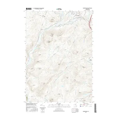
2016 Map of Warrensburg
USGS Topo · Published 2016About this map
The confluence of the Hudson River and Schroon River anchors the settlement of Warrensburg, where a dense network of streets like Main St and Library Ave reflects the town’s long-standing role as a regional hub. To the west, the landscape shifts toward the smaller community of Athol and the more dispersed homes along River Rd and Athol Rd. The topography is defined by significant peaks including The Three Sisters, Willard Mtn, and Bald Mtn Jimmys Peak, which rise above numerous drainages such as Ferguson Brook and Patterson Brook.
Find a feature on this map
98 named features on this map. Tap any name to fly to it.
Don’t see what you’re looking for? This feature index may not catch every label — zoom into the map to look around manually.
Map Details
Editions of this 2016 Warrensburg Map
This is the sole edition of this map. No revisions or reprints were ever made.
Other maps of this area

1895 · North Creek
USGS Topo · 1:62,500

1895 · Glens Falls
USGS Topo · 1:62,500

1897 · Bolton
USGS Topo · 1:62,500

1897 · Glens Falls
USGS Topo · 1:62,500

1897 · North Creek
USGS Topo · 1:62,500

1900 · Bolton
USGS Topo · 1:62,500

1903 · Luzerne
USGS Topo · 1:62,500

1938 · Glens Falls
USGS Topo · 1:62,500

1947 · Glens Falls
USGS Topo · 1:62,500

1950 · Glens Falls
USGS Topo · 1:250,000