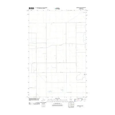
2010 Map of Warroad SW
USGS Topo · Published 2010About this map
The America Cemetery sits on the eastern edge of this northern Minnesota landscape, providing a primary point of interest for genealogists researching Roseau County families. The terrain is characterized by a strict orthogonal grid of rural roads and drainage infrastructure, such as County Ditch Number Twentyfour, which reflects the systematic efforts to manage the low-lying hydrology of the region. Major thoroughfares including County Hwy-2 and County Hwy-126 divide the map into large agricultural or conservation blocks. This 2010 survey illustrates the modern layout of sections and townships where small settlements have largely given way to large-scale land management and rural residences along gravel and paved routes like 330th St and 530th Ave.
Find a feature on this map
15 named features on this map. Tap any name to fly to it.
Don’t see what you’re looking for? This feature index may not catch every label — zoom into the map to look around manually.
Map Details
Editions of this 2010 Warroad SW Map
This is the sole edition of this map. No revisions or reprints were ever made.
Other maps of this area

1918 · Goos
USGS Topo · 1:62,500

1918 · Pencer
USGS Topo · 1:62,500

1918 · Warroad
USGS Topo · 1:62,500

1943 · Goos
USGS Topo · 1:62,500

1943 · Warroad
USGS Topo · 1:62,500

1954 · Roseau
USGS Topo · 1:250,000

1957 · Roseau
USGS Topo · 1:250,000

1958 · Roseau
USGS Topo · 1:250,000
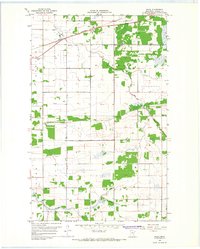
1966 · Salol
USGS Topo · 1:24,000
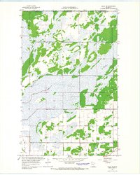
1966 · Salol NE
USGS Topo · 1:24,000