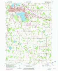
1957 Map of Warsaw
USGS Topo · Published 1982About this map
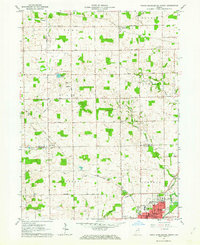
Warsaw and the surrounding glacial lake country are captured here at a time of significant institutional and residential growth. The map centers on the cultural and religious importance of Winona Lake, where the Billy Sunday Tabernacle, Grace College, and the School of Theology form a dense core of activity. This 1957 topography, later photorevised in 1981, illustrates how the city’s footprint expanded toward the County Fairgrounds and northeast past Pike Lake.
Find a feature on this map
42 named features on this map. Tap any name to fly to it.
Don’t see what you’re looking for? This feature index may not catch every label — zoom into the map to look around manually.
Map Details
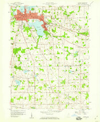
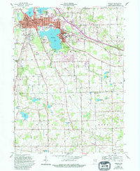
Editions of this 1957 Warsaw Map
4 editions found
Other maps of this area

1950 · Leesburg
USGS Topo · 1:24,000

1950 · Pierceton
USGS Topo · 1:24,000

1950 · North Webster
USGS Topo · 1:24,000

1953 · Fort Wayne
USGS Topo · 1:250,000

1956 · Fort Wayne
USGS Topo · 1:250,000

1957 · Warsaw
USGS Topo · 1:24,000

1959 · Atwood
USGS Topo · 1:24,000

1961 · Silver Lake
USGS Topo · 1:24,000
1961 · Burket
USGS Topo · 1:24,000
1962 · North Manchester North
USGS Topo · 1:24,000