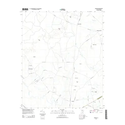
2014 Map of Warsaw
USGS Topo · Published 2014About this map
Warsaw and Bloomingvale anchor this low-lying landscape along the Williamsburg and Georgetown county line. The terrain is defined by a dense network of blackwater drainages and Carolina bays, including Whites Bay, Wildcat Bay, and Burton Bay. These elliptical depressions, unique to the Atlantic Coastal Plain, dictate the settlement pattern, with homesteads and roads like Morrisville Rd following the slightly higher ground between wetlands.
Find a feature on this map
62 named features on this map. Tap any name to fly to it.
Don’t see what you’re looking for? This feature index may not catch every label — zoom into the map to look around manually.
Map Details
Editions of this 2014 Warsaw Map
This is the sole edition of this map. No revisions or reprints were ever made.
Other maps of this area

1943 · Olin
USGS Topo · 1:31,680

1943 · Trio
USGS Topo · 1:24,000

1943 · Henry
USGS Topo · 1:24,000

1943 · Rhems
USGS Topo · 1:24,000

1943 · Andrews
USGS Topo · 1:24,000

1946 · Indiantown
USGS Topo · 1:62,500

1949 · Georgetown
USGS Topo · 1:250,000

1967 · Georgetown
USGS Topo · 1:250,000

1974 · Georgetown
USGS Topo · 1:250,000

1986 · Georgetown
USGS Topo · 1:100,000