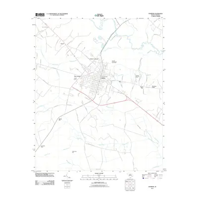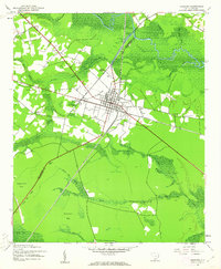
1943 Map of Andrews
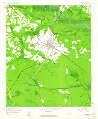
USGS Topo · Published 1962About this map
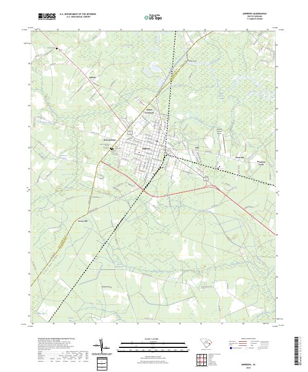
Andrews serves as the focal point of this Lowcountry landscape, situated at the intersection of the Seaboard railroad and the Air Line corridor. The town’s grid is surrounded by a complex network of wetlands, where the Black River and Black River Swamp dominate the northern territory. Local life in the early 1940s was oriented around scattered crossroads and small communities such as Harper Crossroads, Italy, and West Andrews. The surveyor’s detail includes essential rural landmarks like Mt Lebanon Cem and Antioch Ch, reflecting the area's established social geography. The terrain is characterized by distinctive Carolina bays and ridges, including Niggerhead Bay and Cross Bay Ridge, which influenced the placement of roads and farms. This mapping demonstrates how infrastructure, such as the railroad, began to cut through the expansive swamplands of Johnsons Swamp and Muddy Swamp to connect these timber-rich regions.
Find a feature on this map
32 named features on this map. Tap any name to fly to it.
Don’t see what you’re looking for? This feature index may not catch every label — zoom into the map to look around manually.
Map Details
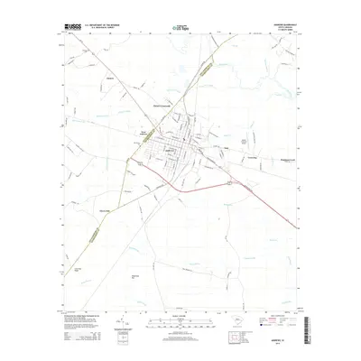
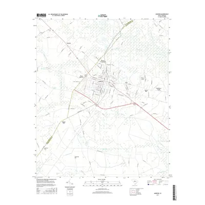
Editions of this 1943 Andrews Map
3 editions found
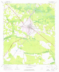
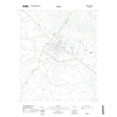
Historical Maps of Andrews Through Time
6 maps found