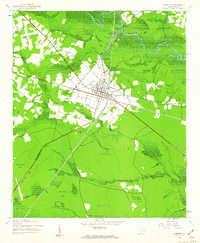
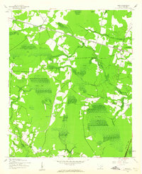
1943 Map of Andrews
USGS Topo · Published 1963About this map
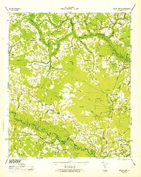
Andrews serves as a central hub at the junction of the Williamsburg Co Georgetown Co line, where the Seaboard Line railroad defines the local industrial and transport corridor. This mid-century landscape is characterized by a transition from the structured grid of the town and West Andrews to the expansive wetlands and bays that dominate the surrounding lowcountry. Local rural life is anchored by family and community landmarks such as Harmony Ch, Antioch Ch, and the Mt Lebanon Cem near the town center.
Find a feature on this map
29 named features on this map. Tap any name to fly to it.
Don’t see what you’re looking for? This feature index may not catch every label — zoom into the map to look around manually.
Map Details
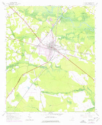
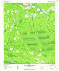
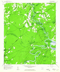
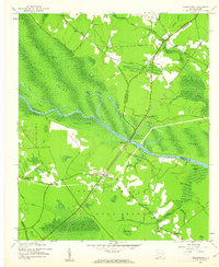
Editions of this 1943 Andrews Map
3 editions found
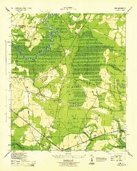
Other maps of this area
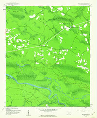
1942 · Cedar Creek
USGS Topo · 1:24,000
1943 · Olin
USGS Topo · 1:31,680
1943 · Trio
USGS Topo · 1:24,000
1943 · Kilsock Bay
USGS Topo · 1:24,000
1943 · Rhems
USGS Topo · 1:24,000

1943 · Andrews
USGS Topo · 1:24,000
1943 · Jamestown
USGS Topo · 1:24,000
1946 · Indiantown
USGS Topo · 1:62,500

1949 · Georgetown
USGS Topo · 1:250,000

1967 · Georgetown
USGS Topo · 1:250,000