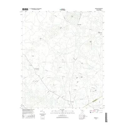
2017 Map of Warsaw
USGS Topo · Published 2017About this map
The Black River flows along the southern edge of this Williamsburg County landscape, defining a terrain dominated by expansive wetlands and named Carolina bays. The transition from the historic center of Old Morrisville to the newer settlement of Morrisville reflects shifting local hubs, while smaller communities like Bloomingvale and Snow Town anchor the interior road network. The map reveals a high concentration of water features including Big Bay, Wildcat Bay, and Chicken Swamp, which suggest the low-lying, hydrologically complex nature of the coastal plain. For the genealogist or local historian, the map preserves the locations of Bloomingvale Cem and Elim Cem, alongside the Jordan Private Airport. The boundary between Williamsburg Co and Georgetown Co is clearly delineated as it cuts through the dense wetlands of Rough Island and the Big Dam Swamp.
Find a feature on this map
64 named features on this map. Tap any name to fly to it.
Don’t see what you’re looking for? This feature index may not catch every label — zoom into the map to look around manually.
Map Details
Editions of this 2017 Warsaw Map
This is the sole edition of this map. No revisions or reprints were ever made.
Other maps of this area

1943 · Olin
USGS Topo · 1:31,680

1943 · Trio
USGS Topo · 1:24,000

1943 · Henry
USGS Topo · 1:24,000

1943 · Rhems
USGS Topo · 1:24,000

1943 · Andrews
USGS Topo · 1:24,000

1946 · Indiantown
USGS Topo · 1:62,500

1949 · Georgetown
USGS Topo · 1:250,000

1967 · Georgetown
USGS Topo · 1:250,000

1974 · Georgetown
USGS Topo · 1:250,000

1986 · Georgetown
USGS Topo · 1:100,000