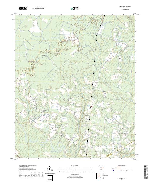
2024 Map of Warsaw
USGS Topo · Published 2024About this map
Morrisville and Old Morrisville anchor this survey of the South Carolina coastal plain, where the landscape is defined by the complex hydrology of the Black River basin. The area is characterized by numerous "bays"—distinctive elliptical depressions such as Whites Bay, Wildcat Bay, and Burton Bay—that intersperse with the pine-timbered lowlands. This survey provides a critical modern look at long-standing rural communities and their genealogical centers, including several historic congregational sites like Mount Zion Church Graveyard and Elim Church Graveyard. Settlement patterns follow the higher ground between wetlands like Campbell Swamp and Big Dam Swamp. The eastern edge of the quadrangle marks the boundary between Williamsburg Co and Georgetown Co, showing the persistent rural infrastructure of the region including Jordan Private Airport and a network of county roads serving small clusters like Snow Town and Bloomingvale.
Find a feature on this map
73 named features on this map. Tap any name to fly to it.
Don’t see what you’re looking for? This feature index may not catch every label — zoom into the map to look around manually.
Map Details
Editions of this 2024 Warsaw Map
This is the sole edition of this map. No revisions or reprints were ever made.
Other maps of this area

1943 · Olin
USGS Topo · 1:31,680

1943 · Trio
USGS Topo · 1:24,000

1943 · Henry
USGS Topo · 1:24,000

1943 · Rhems
USGS Topo · 1:24,000

1943 · Andrews
USGS Topo · 1:24,000

1946 · Indiantown
USGS Topo · 1:62,500

1949 · Georgetown
USGS Topo · 1:250,000

1967 · Georgetown
USGS Topo · 1:250,000

1974 · Georgetown
USGS Topo · 1:250,000

1986 · Georgetown
USGS Topo · 1:100,000