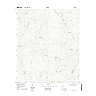
2014 Map of Warthen NW
USGS Topo · Published 2014About this map
Buffalo Cr and its many tributaries, including Little Buffalo Cr and Pinkston Cr, carve a complex network of drainage basins across this section of Washington and Hancock Counties. The landscape is characterized by a high density of small family burial grounds and churchyards, suggesting a deeply rooted rural community structure. Notable sites include the Browns Chapel African Methodist Episcopal Cem and the Lunsford Wall Sisson Family Cem near the northern border.
Find a feature on this map
57 named features on this map. Tap any name to fly to it.
Don’t see what you’re looking for? This feature index may not catch every label — zoom into the map to look around manually.
Map Details
Editions of this 2014 Warthen NW Map
This is the sole edition of this map. No revisions or reprints were ever made.
Other maps of this area

1912 · Milledgeville
USGS Topo · 1:62,500

1953 · Athens
USGS Topo · 1:250,000

1958 · Athens
USGS Topo · 1:250,000

1959 · Athens
USGS Topo · 1:250,000

1960 · Warthen NE
USGS Topo · 1:24,000

1961 · Deepstep
USGS Topo · 1:24,000

1961 · Warthen
USGS Topo · 1:24,000

1961 · Warthen NW
USGS Topo · 1:24,000

1963 · Athens
USGS Topo · 1:250,000

1972 · Shoulderbone
USGS Topo · 1:24,000