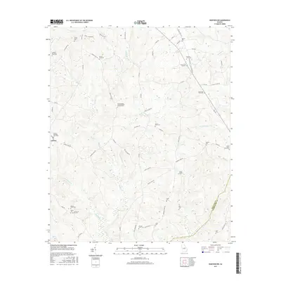
2017 Map of Warthen NW
USGS Topo · Published 2017About this map
The borderlands of Hancock Co and Washington Co are defined by a network of creeks and numerous small family and church cemeteries. The topography is shaped by Buffalo Creek and its many tributaries, including Little Buffalo Creek, Pinkston Creek, and Rocky Creek. While Zebulon serves as a local point of reference, the landscape is primarily defined by a rural road network connecting historic religious sites and private burial grounds. Genealogists will find a high concentration of specific family-named locations such as the Lunsford-Wall-Sisson Family Cemetery and the N F Garland Gravesite. Significant community landmarks include the Browns Chapel African Methodist Episcopal Cemetery and the Zebulon Methodist Church Cemetery, reflecting the long-standing ecclesiastical history of this central Georgia region.
Find a feature on this map
67 named features on this map. Tap any name to fly to it.
Don’t see what you’re looking for? This feature index may not catch every label — zoom into the map to look around manually.
Map Details
Editions of this 2017 Warthen NW Map
This is the sole edition of this map. No revisions or reprints were ever made.
Other maps of this area

1912 · Milledgeville
USGS Topo · 1:62,500

1953 · Athens
USGS Topo · 1:250,000

1958 · Athens
USGS Topo · 1:250,000

1959 · Athens
USGS Topo · 1:250,000

1960 · Warthen NE
USGS Topo · 1:24,000

1961 · Deepstep
USGS Topo · 1:24,000

1961 · Warthen
USGS Topo · 1:24,000

1961 · Warthen NW
USGS Topo · 1:24,000

1963 · Athens
USGS Topo · 1:250,000

1972 · Shoulderbone
USGS Topo · 1:24,000