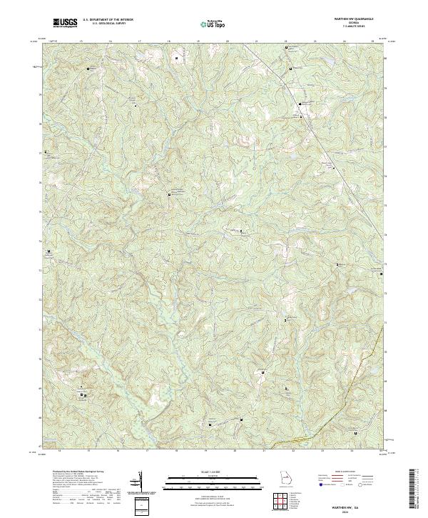
2024 Map of Warthen NW
USGS Topo · Published 2024About this map
The border of Hancock Co and Washington Co defines this landscape of central Georgia, where a dense network of family cemeteries and rural congregations reflects generations of settlement. Small churches like Zebulon Methodist Church and Nazareth Baptist Church serve as anchors for the surrounding community, often accompanied by burial grounds such as the Nazareth Baptist Church Cem. The terrain is deeply etched by a system of waterways, including Buffalo Creek, Pinkston Creek, and Sandy Run Creek, which dictate the winding paths of local roads like Linton Hwy. For genealogists, the map is particularly rich, identifying specific family plots such as the Barnes Family Cem, Carr Family Cem, and the Lunsford Wall Sisson Family Cem, alongside the distinct N F Garland Gravesite.
Find a feature on this map
73 named features on this map. Tap any name to fly to it.
Don’t see what you’re looking for? This feature index may not catch every label — zoom into the map to look around manually.
Map Details
Editions of this 2024 Warthen NW Map
This is the sole edition of this map. No revisions or reprints were ever made.
Other maps of this area

1912 · Milledgeville
USGS Topo · 1:62,500

1953 · Athens
USGS Topo · 1:250,000

1958 · Athens
USGS Topo · 1:250,000

1959 · Athens
USGS Topo · 1:250,000

1960 · Warthen NE
USGS Topo · 1:24,000

1961 · Deepstep
USGS Topo · 1:24,000

1961 · Warthen
USGS Topo · 1:24,000

1961 · Warthen NW
USGS Topo · 1:24,000

1963 · Athens
USGS Topo · 1:250,000

1972 · Shoulderbone
USGS Topo · 1:24,000