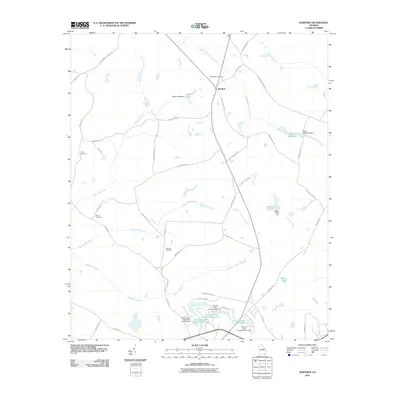
2011 Map of Warthen
USGS Topo · Published 2011About this map
Warthen serves as the central hub of this Washington County landscape, where the intersection of Warthen Ln and S Sparta Davisboro Rd marks a settlement surrounded by active water resources and family legacy sites. The drainage of Williamson Swamp Creek and Carters Mill Creek defines the terrain, supporting numerous impoundments such as Mays Millpond and Walker Pond. This era of land use is characterized by a high density of small-scale dams, including the Adams Lake Dam and the complex around Gilmore Lake Pond Number One. For those documenting local families, the presence of Bethlehem Cemetery, Taylor Cemetery, and the Harris Cemetery provides critical geographic anchors for genealogical research in this part of Georgia.
Find a feature on this map
53 named features on this map. Tap any name to fly to it.
Don’t see what you’re looking for? This feature index may not catch every label — zoom into the map to look around manually.
Map Details
Editions of this 2011 Warthen Map
This is the sole edition of this map. No revisions or reprints were ever made.
Other maps of this area

1953 · Athens
USGS Topo · 1:250,000

1957 · Macon
USGS Topo · 1:250,000

1958 · Macon
USGS Topo · 1:250,000

1958 · Athens
USGS Topo · 1:250,000

1959 · Athens
USGS Topo · 1:250,000

1960 · Warthen NE
USGS Topo · 1:24,000

1961 · Deepstep
USGS Topo · 1:24,000

1961 · Warthen
USGS Topo · 1:24,000

1961 · Warthen NW
USGS Topo · 1:24,000

1962 · Tabernacle
USGS Topo · 1:24,000