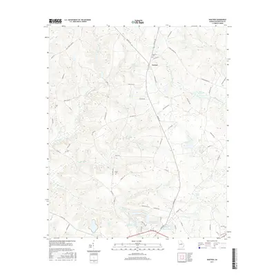
2017 Map of Warthen
USGS Topo · Published 2017About this map
Warthen serves as the central hub of this north-central Georgia landscape, where agricultural land meets a network of slow-moving waterways and small impoundments. The geography is defined by drainage systems like Williamson Swamp Cr and Carters Mill Cr, which suggest a long history of water-powered industry and mill operations in the county. For those looking to trace family history, the map preserves the locations of several community landmarks including Bethlehem Cem and Taylor Cem, alongside roads named for local families such as Webster Rd and Peavy Ln. To the south, a series of recreational or industrial basins including Gilmore Lake Pond Number One and its companions sit near the distinctive topographic feature of Hardwood Hollow, illustrating the managed water systems typical of the region's modern land use.
Find a feature on this map
62 named features on this map. Tap any name to fly to it.
Don’t see what you’re looking for? This feature index may not catch every label — zoom into the map to look around manually.
Map Details
Editions of this 2017 Warthen Map
This is the sole edition of this map. No revisions or reprints were ever made.
Other maps of this area

1953 · Athens
USGS Topo · 1:250,000

1957 · Macon
USGS Topo · 1:250,000

1958 · Macon
USGS Topo · 1:250,000

1958 · Athens
USGS Topo · 1:250,000

1959 · Athens
USGS Topo · 1:250,000

1960 · Warthen NE
USGS Topo · 1:24,000

1961 · Deepstep
USGS Topo · 1:24,000

1961 · Warthen
USGS Topo · 1:24,000

1961 · Warthen NW
USGS Topo · 1:24,000

1962 · Tabernacle
USGS Topo · 1:24,000