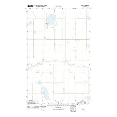
2011 Map of Warwick
USGS Topo · Published 2011About this map
Warwick stands as the central hub of this prairie landscape, situated just south of the distinctive Shin Bone Lake. The town's grid is clearly defined by local thoroughfares such as Main St S and Railroad Ave, reflecting its historical connection to the transport corridors of the northern plains. To the southeast, the Warwick Cemetery serves as a vital record for genealogists and local historians tracking the area's early residents. The topography is dominated by the winding course of the Sheyenne River, which bisects the quadrangle from east to west. This hydrological system includes the Warwick Dam and is surrounded by a scattering of glacial lakes, including North Washington Lake and Bakstad Lake. Rising above the river valley, the elevation of Lookout Mountain provides a significant landmark in an otherwise gently undulating agricultural region defined by a strict section-line road network.
Find a feature on this map
26 named features on this map. Tap any name to fly to it.
Don’t see what you’re looking for? This feature index may not catch every label — zoom into the map to look around manually.
Map Details
Editions of this 2011 Warwick Map
This is the sole edition of this map. No revisions or reprints were ever made.
Other maps of this area

1928 · Tokio
USGS Topo · 1:62,500

1930 · Hamar
USGS Topo · 1:62,500

1931 · Tokio
USGS Topo · 1:62,500

1944 · Brantford
USGS Topo · 1:62,500

1946 · Brantford
USGS Topo · 1:62,500

1950 · Brantford NE
USGS Topo · 1:24,000

1950 · Tokio
USGS Topo · 1:24,000

1950 · Devils Lake Mountain
USGS Topo · 1:24,000

1951 · Devils Lake Mountain
USGS Topo · 1:24,000

1951 · Free Peoples Lake
USGS Topo · 1:24,000