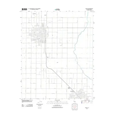
2012 Map of Wasco
USGS Topo · Published 2012About this map
Agricultural grid lines and irrigation infrastructure define this landscape in the southern San Joaquin Valley, where the Calloway Canal snakes through a highly organized network of orchards and fields. The town of Wasco sits at the heart of this region, its residential streets like Pistachio St and Pecan St reflecting the surrounding nut groves. To the north and west, the Wasco-Kern County Airport serves as a transportation hub for this productive corner of Kern County.
Find a feature on this map
90 named features on this map. Tap any name to fly to it.
Don’t see what you’re looking for? This feature index may not catch every label — zoom into the map to look around manually.
Map Details
Editions of this 2012 Wasco Map
This is the sole edition of this map. No revisions or reprints were ever made.
Other maps of this area

1910 · Buena Vista Lake
USGS Topo · 1:125,000

1912 · Buena Vista Lake
USGS Topo · 1:125,000

1927 · McFarland
USGS Topo · 1:31,680

1930 · McFarland
USGS Topo · 1:31,680

1930 · Leonards
USGS Topo · 1:31,680

1930 · Hamlin School
USGS Topo · 1:31,680

1930 · Wasco
USGS Topo · 1:31,680

1930 · Pond
USGS Topo · 1:31,680

1930 · Famoso
USGS Topo · 1:31,680

1930 · Rosedale
USGS Topo · 1:31,680