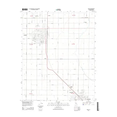
2015 Map of Wasco
USGS Topo · Published 2015About this map
Agricultural life in the San Joaquin Valley is the focal point of this survey, anchored by the significant expansion of Wasco and the northern edge of Shafter. The landscape is dominated by a grid-like network of roads such as Magnolia Ave and Central Ave, reflecting the region's systematic land development. Heavy industrial and transit activity is concentrated along the Bnsf rail line, which runs parallel to State Route 43, connecting the named settlements of Neufeld, Palmo, and North Shafter.
Find a feature on this map
72 named features on this map. Tap any name to fly to it.
Don’t see what you’re looking for? This feature index may not catch every label — zoom into the map to look around manually.
Map Details
Editions of this 2015 Wasco Map
This is the sole edition of this map. No revisions or reprints were ever made.
Other maps of this area

1910 · Buena Vista Lake
USGS Topo · 1:125,000

1912 · Buena Vista Lake
USGS Topo · 1:125,000

1927 · McFarland
USGS Topo · 1:31,680

1930 · McFarland
USGS Topo · 1:31,680

1930 · Leonards
USGS Topo · 1:31,680

1930 · Hamlin School
USGS Topo · 1:31,680

1930 · Wasco
USGS Topo · 1:31,680

1930 · Pond
USGS Topo · 1:31,680

1930 · Famoso
USGS Topo · 1:31,680

1930 · Rosedale
USGS Topo · 1:31,680