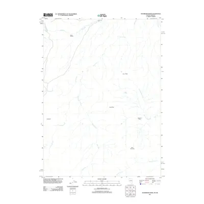
2011 Map of Washburn Basin
USGS Topo · Published 2011About this map
Zimmerman Ranch sits near the northern boundary of this high desert terrain in Malheur County, where the landscape is defined by a network of seasonal drainages and prominent volcanic uplifts. The area is anchored by the massive Black Mountain to the south and the sprawling Long Ridge which bisects the central plateau. This territory is marked by essential water sources for ranching and wildlife, including Old Corral Spring, Rock Spring, and Mud Spring. The drainage patterns are complex, with Riser Creek and its tributary Little Riser Creek carving through the western reaches, while the Washburn Basin provides a natural catchment in the east. These features illustrate the land-use patterns of the Oregon-Nevada borderlands, where geography dictates the location of early cattle operations and the few established outposts in a territory dominated by basins like Bull Basin and steep features such as Basco Canyon.
Find a feature on this map
16 named features on this map. Tap any name to fly to it.
Don’t see what you’re looking for? This feature index may not catch every label — zoom into the map to look around manually.
Map Details
Editions of this 2011 Washburn Basin Map
This is the sole edition of this map. No revisions or reprints were ever made.
Other maps of this area

1882 · Paradise
USGS Topo · 1:250,000

1886 · Disaster
USGS Topo · 1:250,000

1893 · Paradise
USGS Topo · 1:250,000

1893 · Disaster
USGS Topo · 1:250,000

1954 · Vya
USGS Topo · 1:250,000

1955 · McDermitt
USGS Topo · 1:250,000

1955 · Jordan Valley
USGS Topo · 1:250,000

1955 · Adel
USGS Topo · 1:250,000

1957 · Adel
USGS Topo · 1:250,000

1957 · Jordan Valley
USGS Topo · 1:250,000