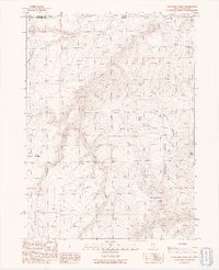
1991 Map of Washburn Basin
USGS Topo · Published 1991About this map
Washburn Basin and the adjacent Bull Basin define this high-elevation landscape along the border of Nevada and Oregon. Compiled from 1980s aerial photography and field-checked at the turn of the 1990s, this survey documents a high-desert environment shaped by a network of drainage systems including Sage Creek, Riser Creek, and Washburn Creek.
Find a feature on this map
18 named features on this map. Tap any name to fly to it.
Don’t see what you’re looking for? This feature index may not catch every label — zoom into the map to look around manually.
Map Details
Editions of this 1991 Washburn Basin Map
This is the sole edition of this map. No revisions or reprints were ever made.
Other maps of this area

1882 · Paradise
USGS Topo · 1:250,000

1886 · Disaster
USGS Topo · 1:250,000

1893 · Paradise
USGS Topo · 1:250,000

1893 · Disaster
USGS Topo · 1:250,000

1954 · Vya
USGS Topo · 1:250,000

1955 · McDermitt
USGS Topo · 1:250,000

1955 · Jordan Valley
USGS Topo · 1:250,000

1955 · Adel
USGS Topo · 1:250,000

1957 · Adel
USGS Topo · 1:250,000

1957 · Jordan Valley
USGS Topo · 1:250,000