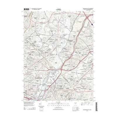
2014 Map of Washington East
USGS Topo · Published 2014About this map
The Anacostia River and its multiple branches, including the Northeast Branch and Northwest Branch, define the dense urban and suburban landscape along the boundary between the District of Columbia and Prince George's County. This 2014 survey captures a mature residential network spanning from Silver Spring to the historic grounds of the Congressional Cem and the Arsenal Monument. The map reflects a legacy of institutional land use, showing the expansive campuses of the Catholic Univ of America and Gallaudet Univ, alongside early aviation history at the College Park Airport. A series of civil defense and recreation sites known as the Fort Circle Parks, including Fort Bunker Hill and Fort Mahan Park, form a green perimeter through neighborhoods like Woodridge and Brookland, preserving the city's nineteenth-century defensive footprint within a modern metropolitan context.
Find a feature on this map
176 named features on this map. Tap any name to fly to it.
Don’t see what you’re looking for? This feature index may not catch every label — zoom into the map to look around manually.
Map Details
Editions of this 2014 Washington East Map
This is the sole edition of this map. No revisions or reprints were ever made.
Other maps of this area

1890 · Mt. Vernon
USGS Topo · 1:125,000

1891 · Mt. Vernon
USGS Topo · 1:125,000

1892 · Laurel
USGS Topo · 1:62,500

1893 · Frederick
USGS Topo · 1:125,000

1894 · Laurel
USGS Topo · 1:62,500

1894 · Frederick
USGS Topo · 1:125,000

1894 · Mt. Vernon
USGS Topo · 1:125,000

1897 · Laurel
USGS Topo · 1:62,500

1897 · Mt. Vernon
USGS Topo · 1:125,000

1899 · Patuxent
USGS Topo · 1:125,000