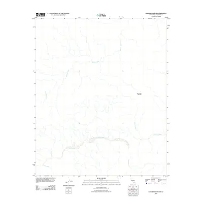
2012 Map of Washington Wash
USGS Topo · Published 2012About this map
Washington Wash and its associated drainage systems define the arid geography of this Riverside County landscape. The area is characterized by a network of seasonal watercourses, including the westward-flowing Pinkham Wash and the southeast-oriented Smoke Tree Wash. Rising above these drainage patterns, Monument Mountain serves as a prominent geographic anchor in the eastern portion of the quadrangle. These features illustrate the complex hydrographic network common to the California desert, where dry washes provide the primary drainage for local elevations. This 2012 survey documents the natural terrain and elevation contours before subsequent environmental shifts, providing a clear record of the physical landmarks that have long guided travel and survey efforts through this part of the county.
Find a feature on this map
4 named features on this map. Tap any name to fly to it.
Don’t see what you’re looking for? This feature index may not catch every label — zoom into the map to look around manually.
Map Details
Editions of this 2012 Washington Wash Map
This is the sole edition of this map. No revisions or reprints were ever made.
Other maps of this area

1904 · Indio
USGS Topo · 1:125,000

1940 · Cottonwood Spring
USGS Topo · 1:62,500

1941 · Coachella
USGS Topo · 1:62,500

1943 · Coachella
USGS Topo · 1:62,500

1943 · Pinkham Well
USGS Topo · 1:62,500

1944 · Cottonwood Spring
USGS Topo · 1:62,500

1944 · Pinkham Well
USGS Topo · 1:62,500

1944 · Pinyon Well
USGS Topo · 1:62,500

1947 · Santa Ana
USGS Topo · 1:250,000

1949 · Santa Ana
USGS Topo · 1:250,000