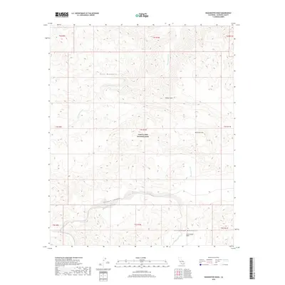
2018 Map of Washington Wash
USGS Topo · Published 2018About this map
Joshua Tree National Park encompasses a significant portion of this high-desert landscape in Riverside County. The terrain is defined by the elevation changes between the Hexie Mountains in the north and the Cottonwood Mountains to the south. Arid drainage patterns are clearly marked by substantial ephemeral watercourses, including Washington Wash, Smoke Tree Wash, and Pinkham Wash, which carve through the Mojave Desert floor. These washes dictate the natural transit corridors through the interior, eventually feeding toward the Cottonwood Basin.
Find a feature on this map
19 named features on this map. Tap any name to fly to it.
Don’t see what you’re looking for? This feature index may not catch every label — zoom into the map to look around manually.
Map Details
Editions of this 2018 Washington Wash Map
This is the sole edition of this map. No revisions or reprints were ever made.
Other maps of this area

1904 · Indio
USGS Topo · 1:125,000

1940 · Cottonwood Spring
USGS Topo · 1:62,500

1941 · Coachella
USGS Topo · 1:62,500

1943 · Coachella
USGS Topo · 1:62,500

1943 · Pinkham Well
USGS Topo · 1:62,500

1944 · Cottonwood Spring
USGS Topo · 1:62,500

1944 · Pinkham Well
USGS Topo · 1:62,500

1944 · Pinyon Well
USGS Topo · 1:62,500

1947 · Santa Ana
USGS Topo · 1:250,000

1949 · Santa Ana
USGS Topo · 1:250,000