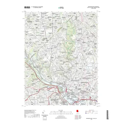
2019 Map of Washington West
USGS Topo · Published 2019About this map
Washington's western expanse and its across-the-river neighbors appear in high detail at this contemporary moment, showing the complex overlap of civic, military, and federal space. The Potomac River serves as the central artery, flanked by the Chesapeake and Ohio Canal National Historical Park and the extensive Arlington National Cemetery. The map captures a dense network of neighborhoods from Georgetown and Columbia Heights to suburban Bethesda and Silver Spring Park. Significant federal installations like the Naval Observatory and Fort Myer sit alongside iconic memorials including the Lincoln Memorial and Washington Monument. For genealogists, the map is particularly useful for locating numerous historic burial sites such as Holy Rood Cem, The Glenwood Cem, and the small Donaldson Family Graveyard near Arlington.
Find a feature on this map
238 named features on this map. Tap any name to fly to it.
Don’t see what you’re looking for? This feature index may not catch every label — zoom into the map to look around manually.
Map Details
Editions of this 2019 Washington West Map
This is the sole edition of this map. No revisions or reprints were ever made.
Other maps of this area

1890 · Mt. Vernon
USGS Topo · 1:125,000

1891 · Mt. Vernon
USGS Topo · 1:125,000

1892 · Laurel
USGS Topo · 1:62,500

1893 · Frederick
USGS Topo · 1:125,000

1894 · Laurel
USGS Topo · 1:62,500

1894 · Frederick
USGS Topo · 1:125,000

1894 · Mt. Vernon
USGS Topo · 1:125,000

1897 · Laurel
USGS Topo · 1:62,500

1897 · Mt. Vernon
USGS Topo · 1:125,000

1899 · Patuxent
USGS Topo · 1:125,000