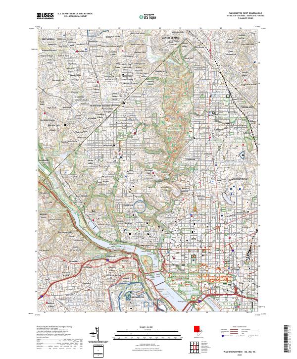
2023 Map of Washington West
USGS Topo · Published 2023About this map
The monumental core of the nation's capital meets the historic residential corridors of Northwest Washington and suburban Maryland in this recent topographic study. The Potomac River serves as the central axis, flanked by the commemorative landscape of Arlington Natl Cem and the Lincoln Memorial. For local historians and genealogists, the map identifies numerous specific columbariums and burial grounds, including the Mount Zion Cem Female Union Band Society Cem and Oak Hill Cem.
Find a feature on this map
228 named features on this map. Tap any name to fly to it.
Don’t see what you’re looking for? This feature index may not catch every label — zoom into the map to look around manually.
Map Details
Editions of this 2023 Washington West Map
This is the sole edition of this map. No revisions or reprints were ever made.
Other maps of this area

1890 · Mt. Vernon
USGS Topo · 1:125,000

1891 · Mt. Vernon
USGS Topo · 1:125,000

1892 · Laurel
USGS Topo · 1:62,500

1893 · Frederick
USGS Topo · 1:125,000

1894 · Laurel
USGS Topo · 1:62,500

1894 · Frederick
USGS Topo · 1:125,000

1894 · Mt. Vernon
USGS Topo · 1:125,000

1897 · Laurel
USGS Topo · 1:62,500

1897 · Mt. Vernon
USGS Topo · 1:125,000

1899 · Patuxent
USGS Topo · 1:125,000