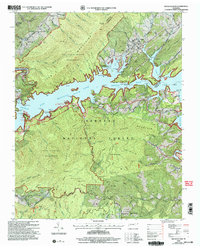
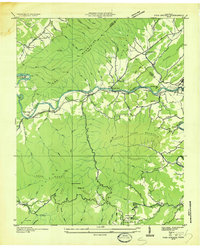
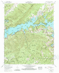
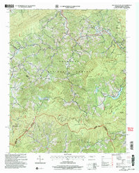
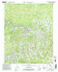
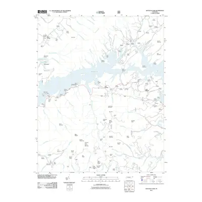
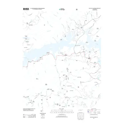
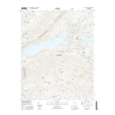
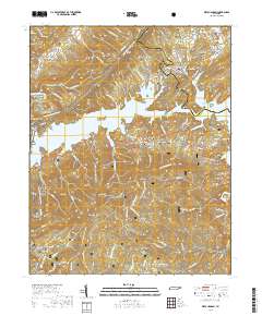
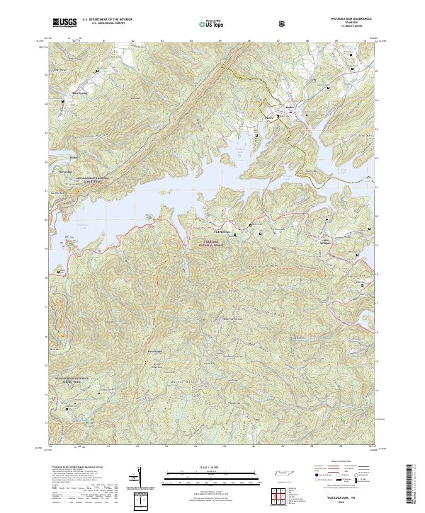
2003 Map of Watauga Dam
USGS Topo · Published 2004About this map
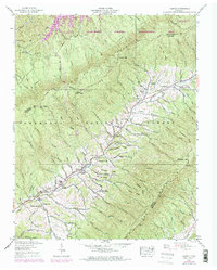
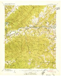
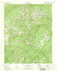
Watauga Lake dominates this mountain landscape, its intricate shoreline carving into the Iron Mountains and Cherokee Mountains. Controlled by the massive Watauga Dam and its adjacent Power Intake Tower, the reservoir transformed the geography of the local communities. The settlement of Butler sits at the northern reaches where Cobb Creek joins the Watauga River, serving as a gateway to the Cherokee National Forest.
Find a feature on this map
105 named features on this map. Tap any name to fly to it.
Don’t see what you’re looking for? This feature index may not catch every label — zoom into the map to look around manually.
Map Details
Editions of this 2003 Watauga Dam Map
This is the sole edition of this map. No revisions or reprints were ever made.
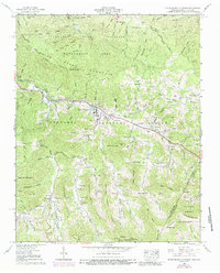
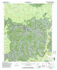
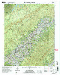
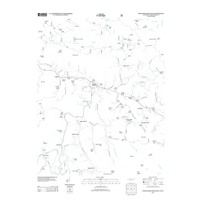
Historical Maps of Fish Springs Through Time
35 maps found
1934 Iron Mtn Gap
Carter County, TN
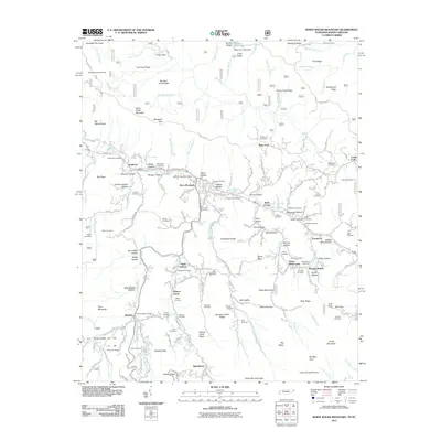
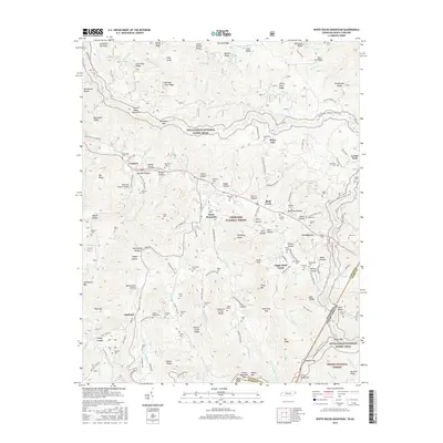
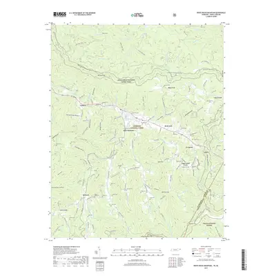
1934 White Rocks Mtn
Carter County, TN
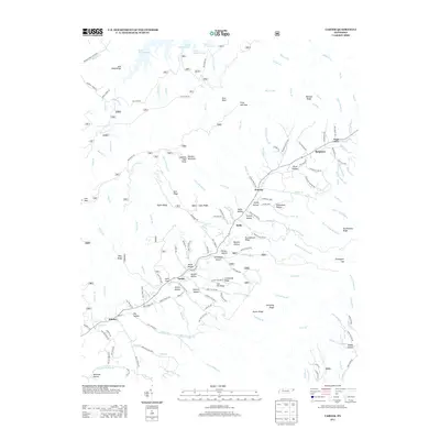
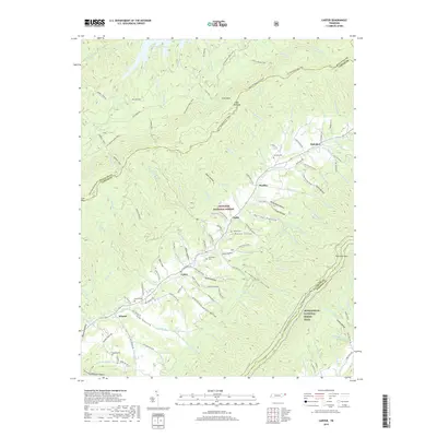
1935 Carter
Carter County, TN
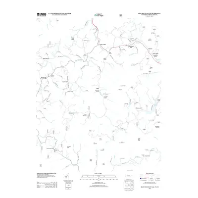
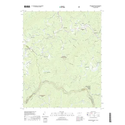
1935 Fish Springs
Carter County, TN

1935 Watauga Valley
Carter County, TN
1938 Carter
Carter County, TN
1938 Fish Springs
Carter County, TN
1960 Iron Mountain Gap
Carter County, TN
1960 Watauga Dam
Carter County, TN
1960 White Rocks Mountain
Carter County, TN
1994 White Rocks Mountain
Carter County, TN
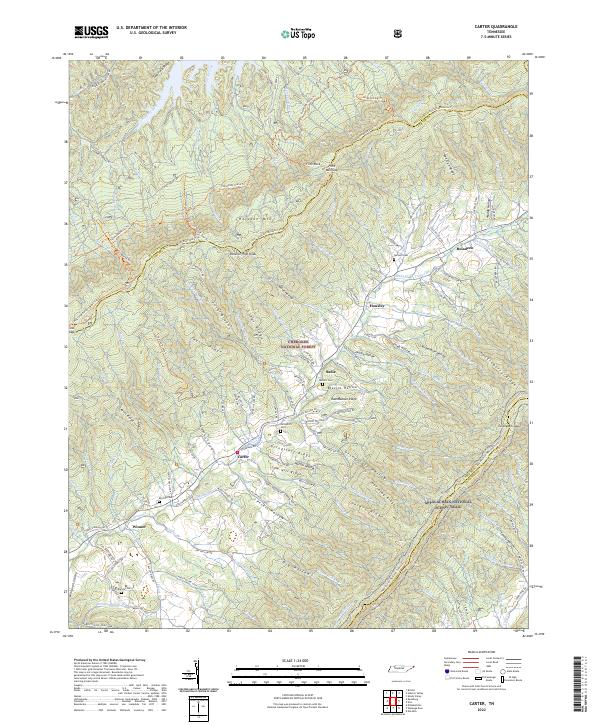
2003 Carter
Carter County, TN
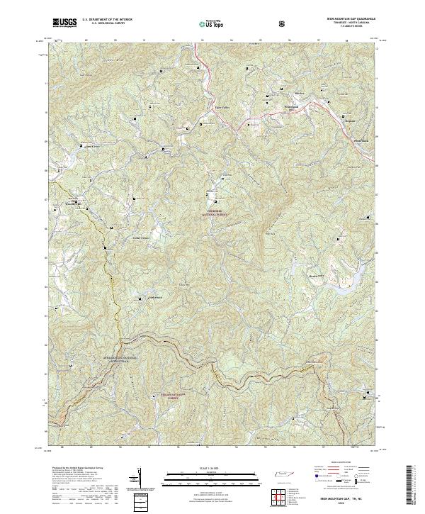
2003 Iron Mountain Gap
Carter County, TN
2003 Watauga Dam
Carter County, TN
2003 White Rocks Mountain
Carter County, TN
2011 Carter
Carter County, TN
2011 Iron Mountain Gap
Carter County, TN
2011 Watauga Dam
Carter County, TN
2011 White Rocks Mountain
Carter County, TN
2013 Carter
Carter County, TN
2013 Iron Mountain Gap
Carter County, TN
2013 Watauga Dam
Carter County, TN
2013 White Rocks Mountain
Carter County, TN
2016 Carter
Carter County, TN
2016 Iron Mountain Gap
Carter County, TN
2016 Watauga Dam
Carter County, TN
2016 White Rocks Mountain
Carter County, TN
2019 Carter
Carter County, TN
2019 Iron Mountain Gap
Carter County, TN
2019 Watauga Dam
Carter County, TN
2019 White Rocks Mountain
Carter County, TN
2022 Carter
Carter County, TN
2022 Iron Mountain Gap
Carter County, TN
2022 Watauga Dam
Carter County, TN
2022 White Rocks Mountain
Carter County, TN