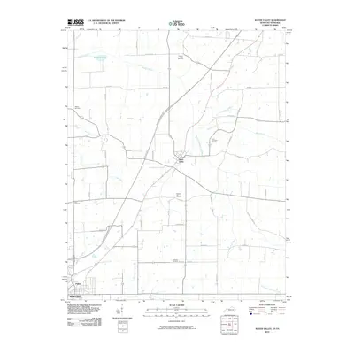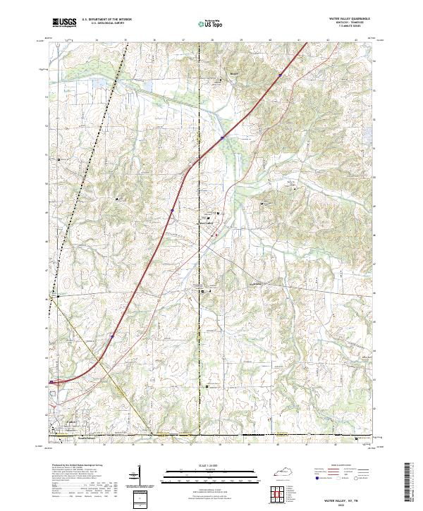
2022 Map of Water Valley
USGS Topo · Published 2022About this map
The Water Valley community sits at the heart of this landscape, where the flatlands meet the dendritic drainage of Bayou de Chien and its many tributaries like Pond Br and Jackson Creek. This borderland region, straddling the Kentucky-Tennessee line, is marked by a dense concentration of burial grounds that speak to the deep genealogical roots of Graves and Hickman counties. Notable sites include the Pleasant Hill Cemetery African American and Camp Beauregard Cemetery, alongside several family and denominational markers like Mount Zion Cemetery and Boaz Chapel Cemetery. The transition from the rural northern settlements like Roper down to the rail-influenced corridors near South Fulton illustrates the long-standing transportation patterns of the Jackson Purchase region.
Find a feature on this map
98 named features on this map. Tap any name to fly to it.
Don’t see what you’re looking for? This feature index may not catch every label — zoom into the map to look around manually.
Map Details
Editions of this 2022 Water Valley Map
This is the sole edition of this map. No revisions or reprints were ever made.
Historical Maps of Fulton Through Time
8 maps found