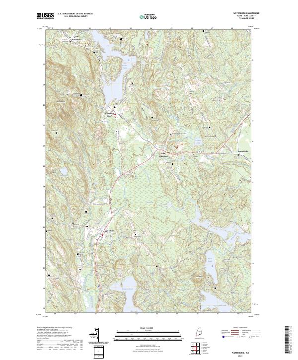
2024 Map of Waterboro
USGS Topo · Published 2024About this map
Waterboro and its surrounding villages characterize this portion of York County, defined by a high concentration of ancestral burial grounds and significant glacial water bodies. The settlement pattern follows established ridges and river valleys, with centers like North Waterboro, Waterboro Center, and East Waterboro serving as historic hubs. Genealogists will find an exceptional density of family-named plots, including the Abial Jones Cem, Dominicus Warren Cem, and the Wakefield Family Cem, alongside the venerable Old Corner Burying Ground.
Find a feature on this map
145 named features on this map. Tap any name to fly to it.
Don’t see what you’re looking for? This feature index may not catch every label — zoom into the map to look around manually.
Map Details
Editions of this 2024 Waterboro Map
This is the sole edition of this map. No revisions or reprints were ever made.
Other maps of this area

1891 · Berwick
USGS Topo · 1:62,500

1891 · Kennebunk
USGS Topo · 1:62,500

1891 · Buxton
USGS Topo · 1:62,500

1891 · Newfield
USGS Topo · 1:62,500

1892 · Buxton
USGS Topo · 1:62,500

1893 · Kennebunk
USGS Topo · 1:62,500

1893 · Berwick
USGS Topo · 1:62,500

1893 · Buxton
USGS Topo · 1:62,500

1893 · Newfield
USGS Topo · 1:62,500

1898 · Kennebunk
USGS Topo · 1:62,500