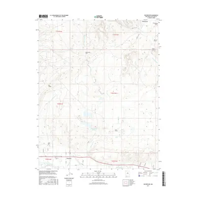
2017 Map of Waterflow
USGS Topo · Published 2017About this map
Waterflow sits along the northern banks of the San Juan River, serving as a focal point for settlement and industry in this corner of New Mexico. The landscape is defined by its sophisticated water management and drainage systems, including the Jewett Valley Ditch and the large San Juan Power Generation Reservoir. To the north, the terrain becomes increasingly complex as the Shumway Arroyo, Westwater Arroyo, and Waughan Arroyo cut through the high desert, leading toward distinctive landforms like The Hogback. Genealogical interest is centered near the river, where both the Jewett Valley Cem and Waterflow Cem are located. The area's geography is further shaped by several named draws and canyons, such as Beechatuda Draw and Hutch Canyon, illustrating a transition from the riparian river corridor to the arid canyonlands that define the region's interior.
Find a feature on this map
38 named features on this map. Tap any name to fly to it.
Don’t see what you’re looking for? This feature index may not catch every label — zoom into the map to look around manually.
Map Details
Editions of this 2017 Waterflow Map
This is the sole edition of this map. No revisions or reprints were ever made.
Other maps of this area

1889 · Chaco
USGS Topo · 1:250,000

1892 · Chaco
USGS Topo · 1:250,000

1927 · Sulphur Spring
USGS Topo · 1:96,000

1928 · Kirtland
USGS Topo · 1:125,000

1932 · Kirtland
USGS Topo · 1:125,000

1934 · Chimney Rock
USGS Topo · 1:62,500

1936 · Chimney Rock
USGS Topo · 1:62,500

1954 · Shiprock
USGS Topo · 1:250,000

1958 · Shiprock
USGS Topo · 1:250,000

1959 · Shiprock
USGS Topo · 1:250,000