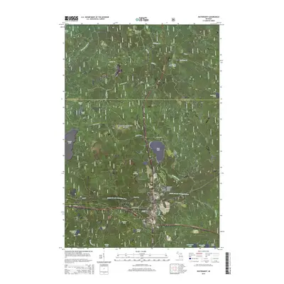
2014 Map of Watersmeet
USGS Topo · Published 2014About this map
The Middle Branch Ontonagon River and its numerous tributaries define this portion of the Ottawa National Forest in the western Upper Peninsula. Near the confluence of several major waterways, the settlement of Watersmeet serves as a central hub, while the smaller community of Bonifas sits further north along the shores of Bass Lake. The terrain is characterized by a dense network of glacial lakes and small streams, including Sucker Lake, Lake Audrey, and Duck Cr, punctuated by landmarks like Rock Bluff Falls and Ajibikoka Falls. Local history is anchored at the Watersmeet Township Cem located near the junction of Us HWY 2 and Us HWY 45. This map documents a landscape heavily influenced by both the timber industry's legacy and modern forest management, where forest roads like Robbins Pond Rd provide access to the interior.
Find a feature on this map
45 named features on this map. Tap any name to fly to it.
Don’t see what you’re looking for? This feature index may not catch every label — zoom into the map to look around manually.
Map Details
Editions of this 2014 Watersmeet Map
This is the sole edition of this map. No revisions or reprints were ever made.
Other maps of this area

1938 · Phelps
USGS Topo · 1:48,000

1946 · Star Lake
USGS Topo · 1:48,000

1950 · Phelps
USGS Topo · 1:48,000

1950 · Star Lake
USGS Topo · 1:48,000

1952 · Watersmeet
USGS Topo · 1:62,500

1952 · Thayer
USGS Topo · 1:62,500

1955 · Starlake
USGS Topo · 1:62,500

1956 · Phelps
USGS Topo · 1:62,500

1958 · Iron River
USGS Topo · 1:250,000

1960 · Iron River
USGS Topo · 1:250,000