Loading...
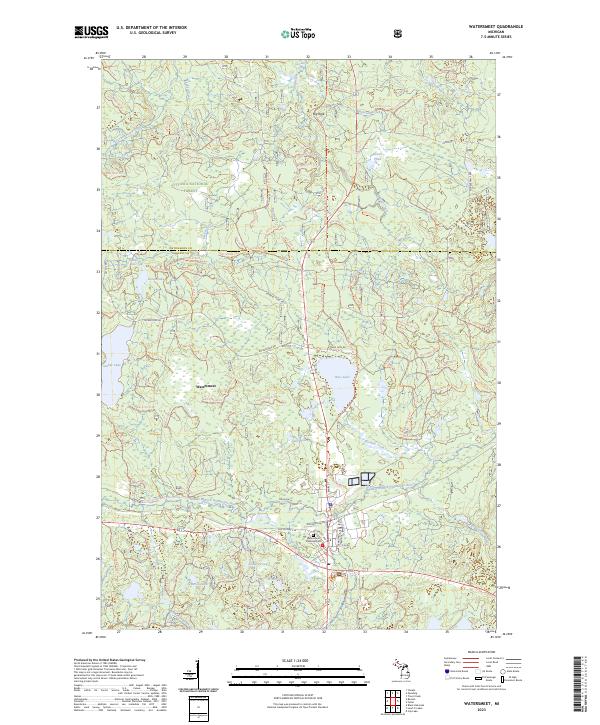
Loading map...2023 Map of Watersmeet
USGS Topo · Published 2023About this map
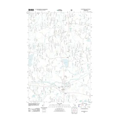
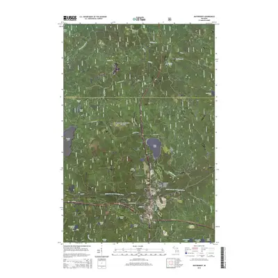
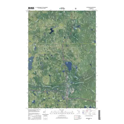
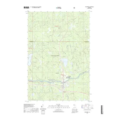
Watersmeet serves as the focal point of this Upper Peninsula landscape, where the confluence of several vital waterways shapes the local geography. The area is characterized by the Middle Branch Ontonagon River, which is designated as the Ontonagon Wild and Scenic River. This hydrology, including Sucker Lake, Bass Lake, and the falling waters of Rock Bluff Falls and Kibikika Falls, reflects the timber and recreational heritage of Gogebic County.
Find a feature on this map
39 named features on this map. Tap any name to fly to it.
Don’t see what you’re looking for? This feature index may not catch every label — zoom into the map to look around manually.
Map Details
Date Portrayed2023
Date Published2023
PublisherU.S. Geological Survey
Map TypeTopographic
Scale1:24,000
Physical Dimensions24 x 29 inches
Editions of this 2023 Watersmeet Map
This is the sole edition of this map. No revisions or reprints were ever made.
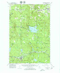
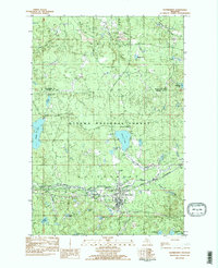
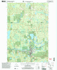
Historical Maps of Watersmeet Through Time
8 maps found
Featured Locations
- Gogebic County, MI
- Ontonagon County, MI
- Watersmeet Township, MI
- Haight Township, MI
- Watersmeet, Watersmeet Township
Source Details
SourceU.S. Geological Survey
CopyrightPublic Domain