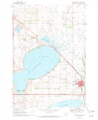
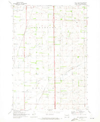
1969 Map of Watertown West
USGS Topo · Published 1971About this map
Lake Kampeska and Pelican Lake dominate this glacial prairie landscape west of Watertown. The map illustrates a transitional period for the region, where agriculture and early recreation meet industrial infrastructure. The presence of Sandy Shore State Park and Camp Watymca along the lakeshore suggests a growing leisure economy, while the Water Filtration Plant and the sprawling Watertown Municipal Airport indicate significant municipal development.
Find a feature on this map
38 named features on this map. Tap any name to fly to it.
Don’t see what you’re looking for? This feature index may not catch every label — zoom into the map to look around manually.
Map Details
Editions of this 1969 Watertown West Map
This is the sole edition of this map. No revisions or reprints were ever made.
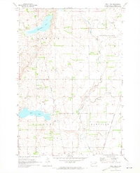
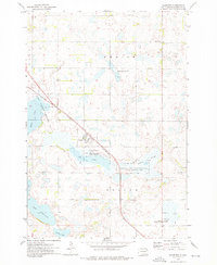
Other maps of this area

1953 · Milbank
USGS Topo · 1:250,000

1953 · Watertown
USGS Topo · 1:250,000

1958 · Milbank
USGS Topo · 1:250,000

1958 · Watertown
USGS Topo · 1:250,000
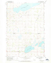
1969 · Pelican Lake
USGS Topo · 1:24,000
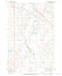
1969 · Watertown SE
USGS Topo · 1:24,000
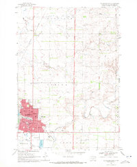
1969 · Watertown East
USGS Topo · 1:24,000
1970 · Still Lake SE
USGS Topo · 1:24,000
1970 · Still Lake
USGS Topo · 1:24,000
1973 · Florence
USGS Topo · 1:24,000