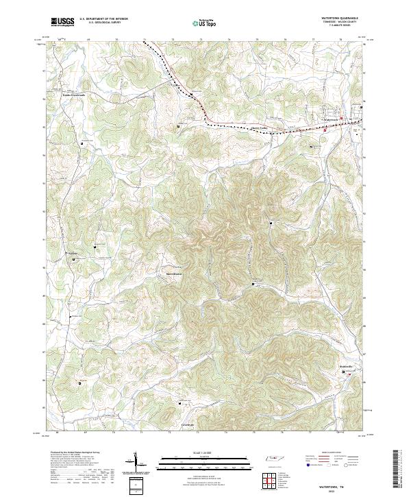
2022 Map of Watertown
USGS Topo · Published 2022About this map
Watertown serves as the primary hub in this eastern Wilson County landscape, where the street grid of W Main St and E Main St meets the winding course of Round Lick Cr. The surrounding terrain is defined by a dense network of hollows and ridges, including Griffin Hollow and Smith Hollow, which shaped the placement of early settlements and family cemeteries. Small rural communities like Sherrilltown, Norene, and Doaks Crossroads are linked by a complex web of backroads such as Old Statesville Rd and Sherrilltown Rd.
Find a feature on this map
102 named features on this map. Tap any name to fly to it.
Don’t see what you’re looking for? This feature index may not catch every label — zoom into the map to look around manually.
Map Details
Editions of this 2022 Watertown Map
This is the sole edition of this map. No revisions or reprints were ever made.
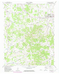
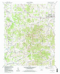
Historical Maps of Mount Vernon Through Time
3 maps found