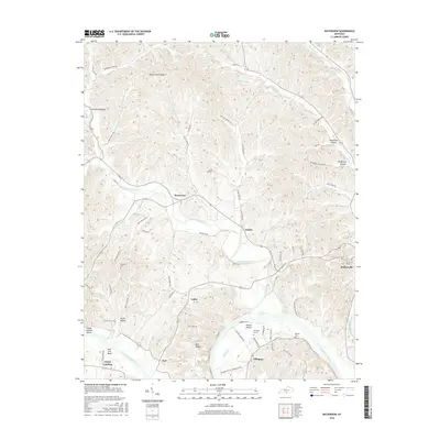
2016 Map of Waterview
USGS Topo · Published 2016About this map
Marrowbone Creek and the meandering Cumberland River define the physical and social geography of this section of Cumberland County. Small agricultural settlements like Waterview, Grider, and Leslie are connected by a network of rural roads that follow the winding valley floors between high ridges such as Rocky Point Ridge and Bull Ridge. The river's influence is evident in the naming of landmarks like Salt Lick Bend and Cloyds Landing, points that historically served as vital touchpoints for river traffic and local trade. Genealogists can locate several family-named burial sites across the landscape, including Branham Cem, Ellington Cem, and Newby Cem. The proximity of Burkesville at the eastern edge suggests the regional importance of these outlying communities as part of the broader river-valley economy.
Find a feature on this map
77 named features on this map. Tap any name to fly to it.
Don’t see what you’re looking for? This feature index may not catch every label — zoom into the map to look around manually.
Map Details
Editions of this 2016 Waterview Map
This is the sole edition of this map. No revisions or reprints were ever made.
Other maps of this area

1924 · Lillydale
USGS Topo · 1:62,500

1926 · Lillydale
USGS Topo · 1:62,500

1929 · Lillydale
USGS Topo · 1:62,500

1929 · Tompkinsville
USGS Topo · 1:62,500

1953 · Breeding
USGS Topo · 1:24,000

1953 · Waterview
USGS Topo · 1:24,000

1953 · Edmonton
USGS Topo · 1:24,000

1953 · Amandaville
USGS Topo · 1:24,000

1953 · Burkesville
USGS Topo · 1:24,000

1953 · Dubre
USGS Topo · 1:24,000