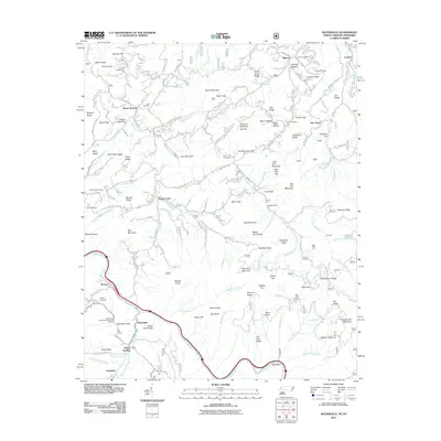
2011 Map of Waterville
USGS Topo · Published 2011About this map
The Pigeon River snakes through this high-elevation region along the North Carolina and Tennessee border, carving a deep valley through the Great Smoky Mountains. This landscape is defined by its numerous ridge systems, including Raven Mountain and John Mountain, which create a complex network of gaps and hollows. Small settlements like Waterville, Browns, and Mount Sterling are situated near the river and lower valley reaches, while the higher terrain is crisscrossed by an intricate system of forest and mountain roads such as Tennessee Way and Lost My Way.
Find a feature on this map
164 named features on this map. Tap any name to fly to it.
Don’t see what you’re looking for? This feature index may not catch every label — zoom into the map to look around manually.
Map Details
Editions of this 2011 Waterville Map
This is the sole edition of this map. No revisions or reprints were ever made.
Other maps of this area

1893 · Mt Guyot
USGS Topo · 1:125,000

1894 · Asheville
USGS Topo · 1:125,000

1901 · Asheville
USGS Topo · 1:125,000

1912 · Mt Guyot
USGS Topo · 1:125,000

1935 · Newport
USGS Topo · 1:48,000

1935 · Hartford
USGS Topo · 1:24,000

1935 · Paint Rock
USGS Topo · 1:24,000

1935 · Neddy Mountain
USGS Topo · 1:24,000

1935 · Lemon Gap
USGS Topo · 1:24,000

1936 · Hepco
USGS Topo · 1:24,000