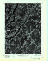
1975 Map of Waterville SE
USGS Topo · Published 1980About this map
The Sebasticook River winds through the heart of this Kennebec County landscape, joining the Kennebec River near the established industrial and residential centers of Waterville and Winslow. This orthophotoquad provides an unfiltered view of the mid-1970s land use, capturing the transition from the dense street grids of the riverside towns to the sprawling agricultural fields and timberlands of the surrounding countryside.
Find a feature on this map
9 named features on this map. Tap any name to fly to it.
Don’t see what you’re looking for? This feature index may not catch every label — zoom into the map to look around manually.
Map Details
Editions of this 1975 Waterville SE Map
This is the sole edition of this map. No revisions or reprints were ever made.
Other maps of this area

1892 · Waterville
USGS Topo · 1:62,500

1893 · Vassalboro
USGS Topo · 1:62,500

1898 · Vassalboro
USGS Topo · 1:62,500

1916 · Liberty
USGS Topo · 1:62,500

1926 · Burnham
USGS Topo · 1:62,500

1941 · Vassalboro
USGS Topo · 1:62,500

1942 · Liberty
USGS Topo · 1:62,500

1943 · Vassalboro
USGS Topo · 1:62,500

1943 · Waterville
USGS Topo · 1:62,500

1948 · Bangor
USGS Topo · 1:250,000