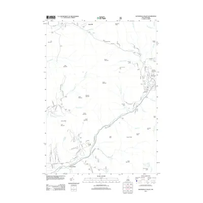
2012 Map of Waterville Valley
USGS Topo · Published 2012About this map
Goose Hollow and the settlement at Tripoli Mill anchor the southern and northern reaches of this White Mountain landscape, where the Mad River system shapes the topography and human access. The valley floor is defined by a network of seasonal recreation sites and mountain infrastructure, including the Waterville Valley Ski Area and the Waterville Campground. These developed pockets contrast with the significant verticality of the surrounding peaks, such as Mount Tecumseh, Fisher Mountain, and the prominent Bald Knob.
Find a feature on this map
82 named features on this map. Tap any name to fly to it.
Don’t see what you’re looking for? This feature index may not catch every label — zoom into the map to look around manually.
Map Details
Editions of this 2012 Waterville Valley Map
This is the sole edition of this map. No revisions or reprints were ever made.
Other maps of this area

1895 · Crawford Notch
USGS Topo · 1:62,500

1896 · Crawford Notch
USGS Topo · 1:62,500

1928 · Plymouth
USGS Topo · 1:62,500

1929 · Franconia
USGS Topo · 1:62,500

1931 · Plymouth
USGS Topo · 1:62,500

1931 · Mt. Chocorua
USGS Topo · 1:62,500

1932 · Franconia
USGS Topo · 1:62,500

1946 · Crawford Notch
USGS Topo · 1:62,500

1949 · Portland
USGS Topo · 1:250,000
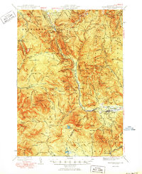
1950 · Crawford Notch
USGS Topo · 1:62,500